2673
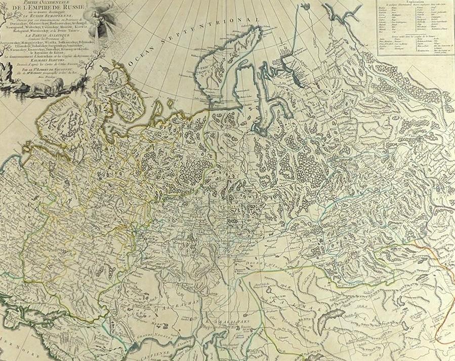
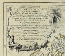
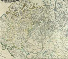
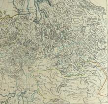
PARTIE OCCIDENTALE DE L’EMPIRE DE RUSSIE, 1750

LOT DETAILS
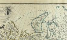
A rare, large and highly detailed, original outline hand-coloured copper- plate with fine decorative title cartouche, engraving by Robert de Vaugondy including details of the Russian Atlas printed in September 1745 in St. Petersburg, and included in his Atlas Universel of 1757; this map extends from Poloma and the Baltic Sea east to Ilinskey, Siberia, and south to the Caspian Sea, and north to Nouvelle Zembla and the Arctic
De Vaugondy’s maps are considered historically important for the universal respect he achieved for producing the most detailed and accurate maps of the period
Presented in excellent condition on studio board with protective clear film, image size 48.3 x 58.4cm (19 x 23in)