2628
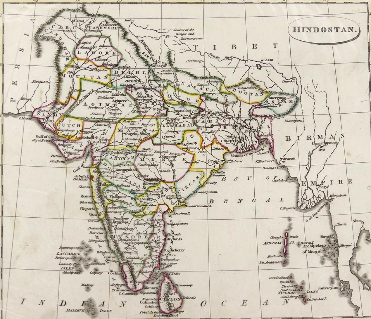
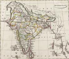
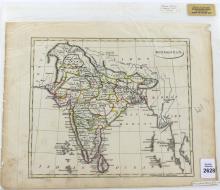
MAP OF HINDOSTAN, 1814
LOT DETAILS
Original copper-engraved map by Russell with later regional demarcation hand-colouring from Ostell’s New General Atlas, London, 1814; presented in plastic protective sleeve, image size 21.6 x 18.4cm (8 1/2 x 7 1/4in), in good condition with slight discolouration around edges but no damage within plate marking