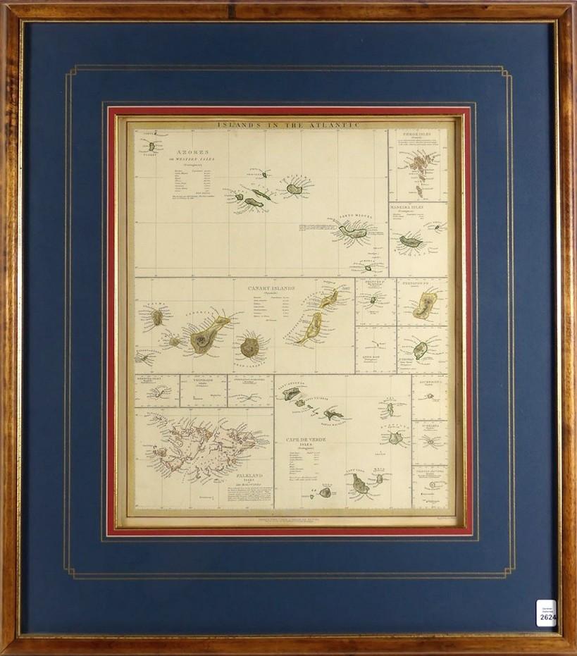
ISLANDS IN THE ATLANTIC, 1844


LOT DETAILS
This important historical map, beautifully hand-coloured and detailed steel plate engraving, was published by and under the Superintendence of the Society for the Diffusion of Useful Knowledge (S.D.U.K.) of London in 1844; it contains individual maps of the Azores or Western Isles, Faeroe isles, Madeira Isles, Canary Islands, Princes Id, Falkland Islands, Bermuda Isles, Trinidad Isles, Ferenando Noronha, Cape de Verde Isles, Fernando Po, St Thomas, Anno Bon, Ascension Is, St Helena, and the Tristan D’Acunha Isles
The Society was founded in 1826 with the object of publishing information to people who were unable to obtain formal teaching or who preferred self education; its 20-year mission was to adapt scientific and similar material for a rapidly expanding reading public, and was disbanded in 1846; the historical works of the Society are largely overlooked, rather by ignorance than by design, but they hide many hidden gems, according to some scholars, which have recently come into a new light of collectability
High quality presentation with image size measuring 39.4 x 33cm (15 1/2 x 13in), Koa wood frame outer dimensions 66 x 58.4cm (26 x 23in)
