2620
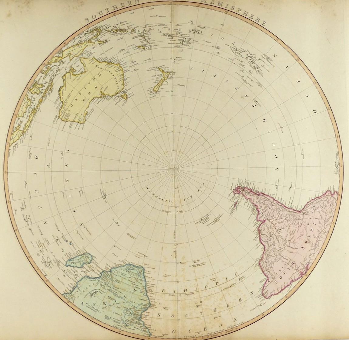
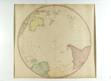
SOUTHERN HEMISPHERE, 1802
LOT DETAILS
This is the companion hand-coloured original copper-plate engraving to the Northern Hemisphere (lot 2619) and is noteworthy for its complete absence of the Antarctic Continent and exhibiting the belief of the day that the Antarctic Icy Sea covered the entire area around the South Pole; it took Charles Wilkes, leading the U.S. Exploring Expedition, to map the Continent of Antarctica in 1840 which is acknowledged as one of the most important and significant cartographic undertakings in history; tight margins, top and bottom, are as published as a folding map
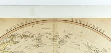
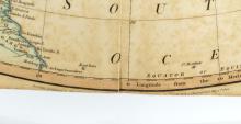
Presented in good condition, with slight offsetting, on studio board with protective clear film - image size 57.2cm (22 1/2in) diameter
