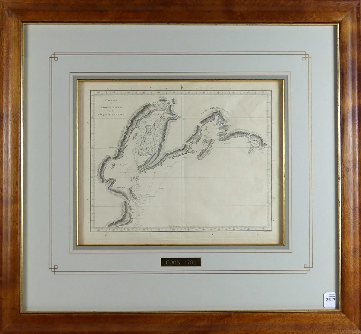
2617
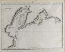
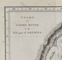
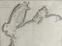
CHART OF COOK'S RIVER IN NW, PART OF AMERICA, 1784
LOT DETAILS
This original copper-plate engraving was published in 1784 by Strahan and Cadell of London, the rare chart shows the path of the Resolution and Discovery as Captain Cook, after discovering the Sandwich Isles in January of 1778, from where he departed on February 2nd and sailed north in an unsuccessful search for the fabled Northwest Passage, a waterway believed to connect the North Pacific and North Atlantic Oceans
Original charts from Cook’s Third Voyage of Discovery (1776-1780) are distinguished by both their high degree of accuracy and their historic importance; presented in fine condition in Koa wood frame with brass plate with image size measuring 25.4 x 31.8cm (10 x 12 1/2in), frame outside dimensions 55.9 x 64.8cm (22 x 25 1/2in)