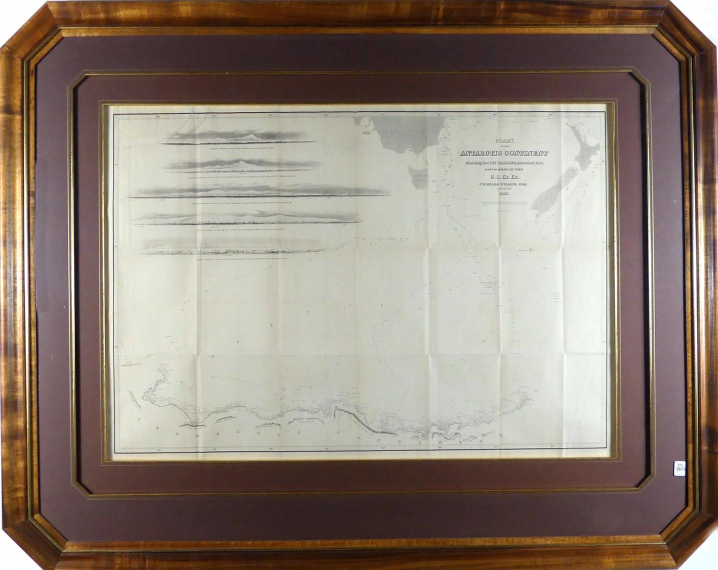
RARE CHART OF THE ANTARCTIC CONTINENT, 1840



LOT DETAILS
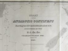
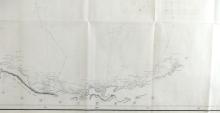
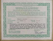
The Chart of the Antarctic Continent Shewing the Icy Barrier Attached to it, Discovered by the U.S. Ex. Ex., Charles Wilkes, Esq., Commander, 1840; this historic first charting of the Antarctic was published in the atlas accompanying the 1845 publication (by G.P. Putnam and Co.) of Commander Charles Wilkes’ “U.S. Exploring Expedition to the Pacific”; Wilkes was the first official visitor to set foot on the Continent, and the highly detailed chart also shows topographical vignettes as recorded by Wilkes’ artists
This important and extraordinary rare production is highly sought after by Antarctica collectors for the detail of the surveying of the coast to definitively prove the very nature of the region; specifically, the coast survey now known as Wilkes’ Land, stands out as the most significant, as Wilkes beat better equipped competing expeditions by the English (James Clark) and the French (Jules Sebastien Cesar Dumont d’Urville)
Maps from Wilkes’ official report were reproduced in small and large formats, the latter as beautifully presented here in Koa wood frame, image size 61 x 88.9cm (24 x 35in), frame outside dimensions 100.3cm x 1.24m (39 1/2 x 49in), and are recorded as being exceptionally scarce; copies are to be found in the Library of Congress, National Library of Australia, Harvard University, Yale University, U.S. Naval Institute, Naval History and Heritage Command, University of Wisconsin, Smithsonian, The David Rumsey Map Collection, and many more prestigious institutions.
