2611
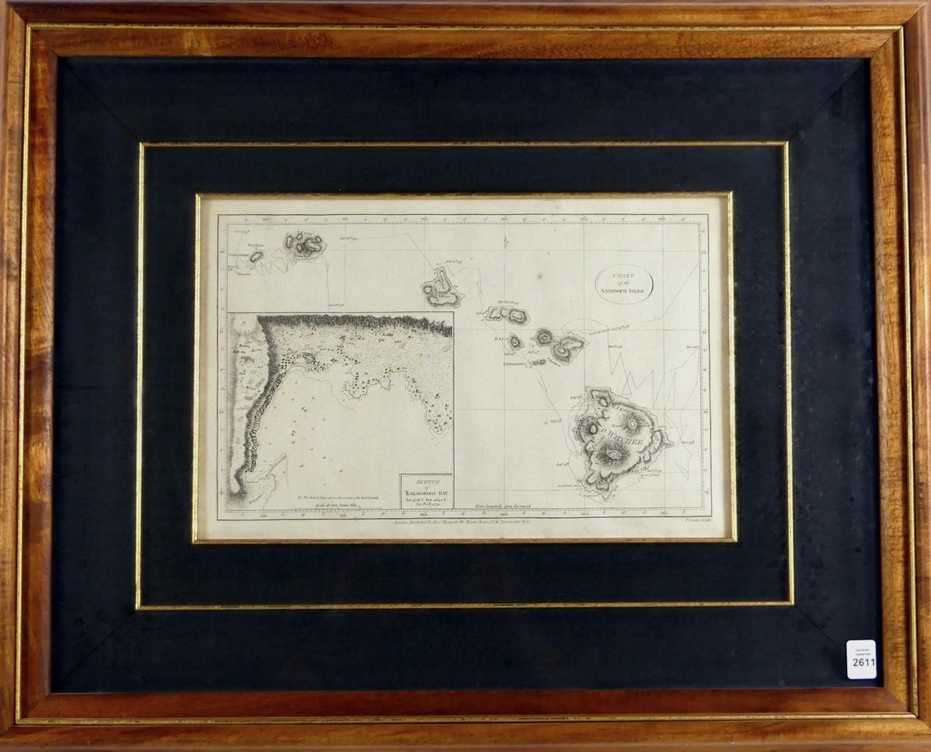
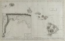
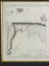
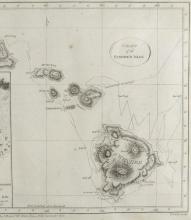
CHART OF THE SANDWICH ISLANDS, 1785
LOT DETAILS
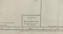
This map represents the historically important first charting of the Hawaiian Islands and was created by Captain James Cook, assisted by William Bligh on Cook’s third and final voyage of Discovery (1776-1779) to the Pacific; published by Alex Hogg shortly after the first British Admiralty map of 1784, the inset shows Kealakekua Bay where Cook met his untimely demise on February 14, 1779
Presented in very fine condition in Koa wood frame, image size 22.9 x 36.8cm (9 x 14 1/2in), frame outside dimensions 52.1 x 64.8cm (20 1/2 x 25 1/2in); appraisal in 2002 for insurance $2900.00 U.S.
