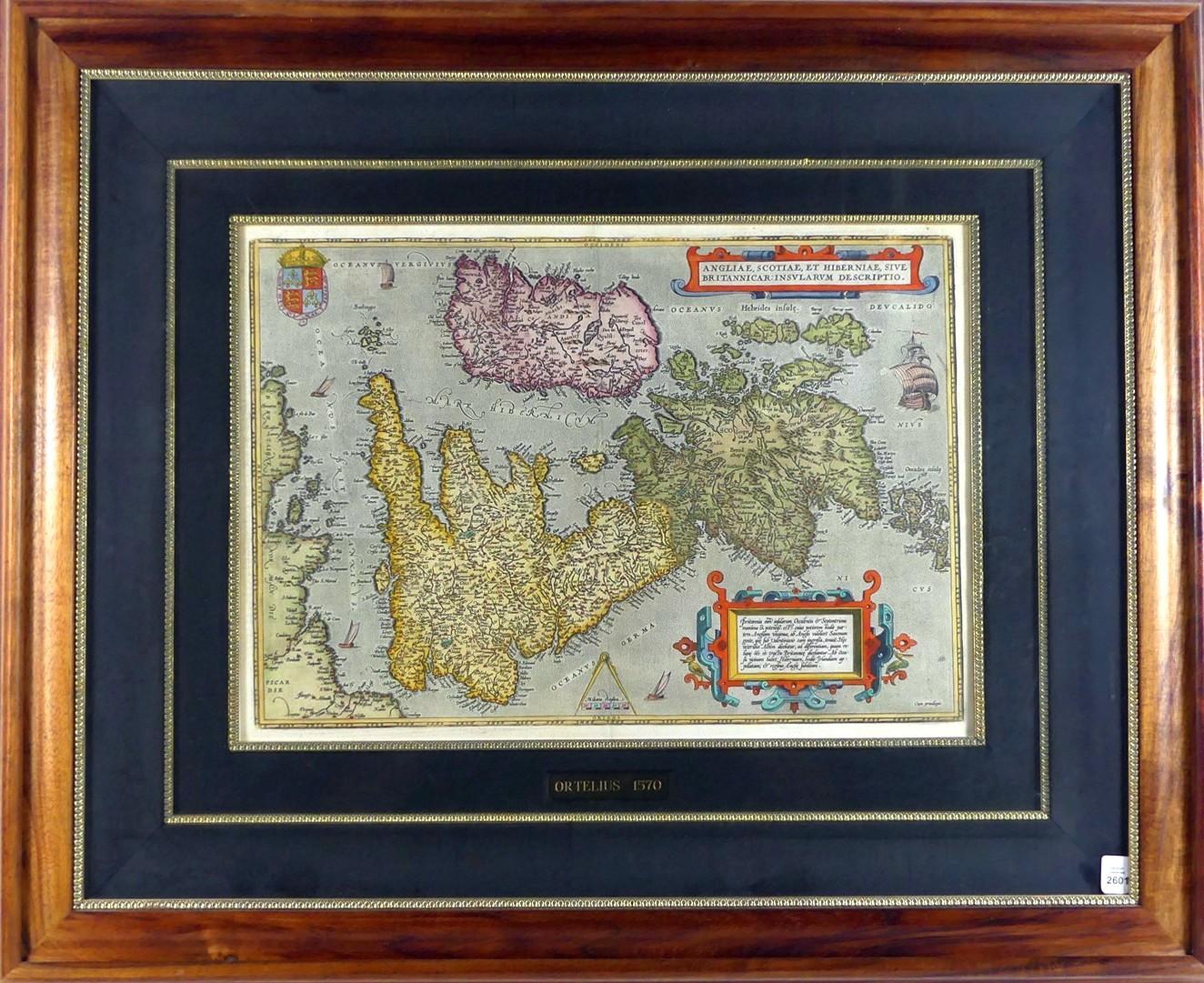
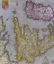
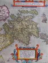
1570 MAP OF ANGLIAE, SCOTIAE, ET HIBERNIAE

LOT DETAILS
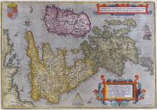
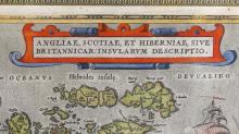
This map, Angliae, Scotiae, et Hiberniae, Sive Britannicae, Insularum Descriptio was published at Antwerp by Abraham Ortelius in 1570; Ortelius (1527-1598), a Brabantian cartographer, is recognized as the creator of the first modern atlas, the Theatrum Orbis Terrarum in which this map of Britain is the first ever produced in such a collection
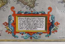
Ortelius’ British Isles map is distinguished by a more sophisticated and ebullient style of engraving than most of the German and examples hitherto; the cartouche containing descriptive text is surrounded by ornate strapwork, there being a royal coat of arms, a compass and scale, and five ships; this increasingly rare, very high quality example of the horizontal representation of the British Isles is beautifully presented in full original colour, in a stunning matt and sacred Hawaiian Koa wood frame - image size 35.6 x 50.8cm (14 x 20in); frame outer dimensions 69.9 x 85.1cm (27 1/2 x 33 1/2in); the latest valuation for insurance for this map was $6000.00