2067
IMPORTANT LEO BELGICUS 17TH CENTURY MAP


LOT DETAILS
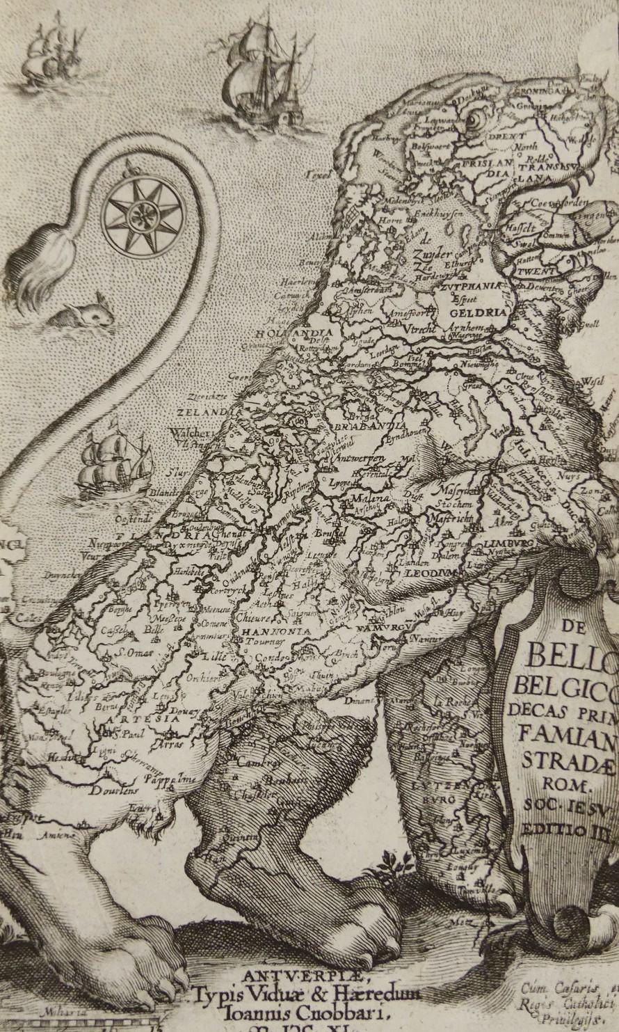
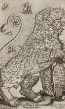
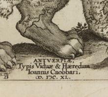
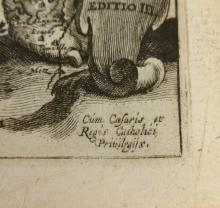
Leo Belgicus authentic third state "80 Years War" map/engraving of the Netherlands in the form of a lion, circa 1640's; the first state was published by an unknown engraver in 1632; on the map with the north up, you can see the standing lion looking to the right; on the shield reads "De Bello Belgico Decas Prima Famiani Stradae Rom. Soc. Iesu"; there were editions published in Italian, Dutch, French, Spanish and Polish, but only the Latin and Dutch editions included the lion map, a very rare find - unframed, the sheet measures 17.8 x 10.5cm (7 x 4 1/8in)