2064
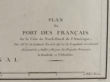
PLAN DU PORT DES FRANCAIS MAP

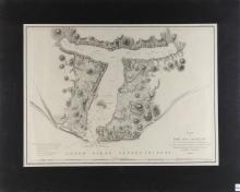
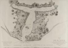
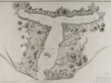

LOT DETAILS
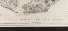
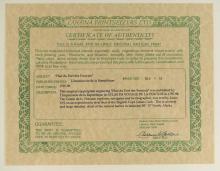
Original copperplate engraving and published in 1797-1798 in Atlas du Voyage de la Perouse; this is an important early and impressively detailed chart of this natural harbour discovered in July, 1786 in latitude 58 degrees 37 North, Alaska; presented in fine condition in mat form, image size 52.1 x 68.6cm (20 1/2 x 27in); Certificate of Authenticity verso from Lahaina Printsellers Ltd., Maui, Hawaii