2050
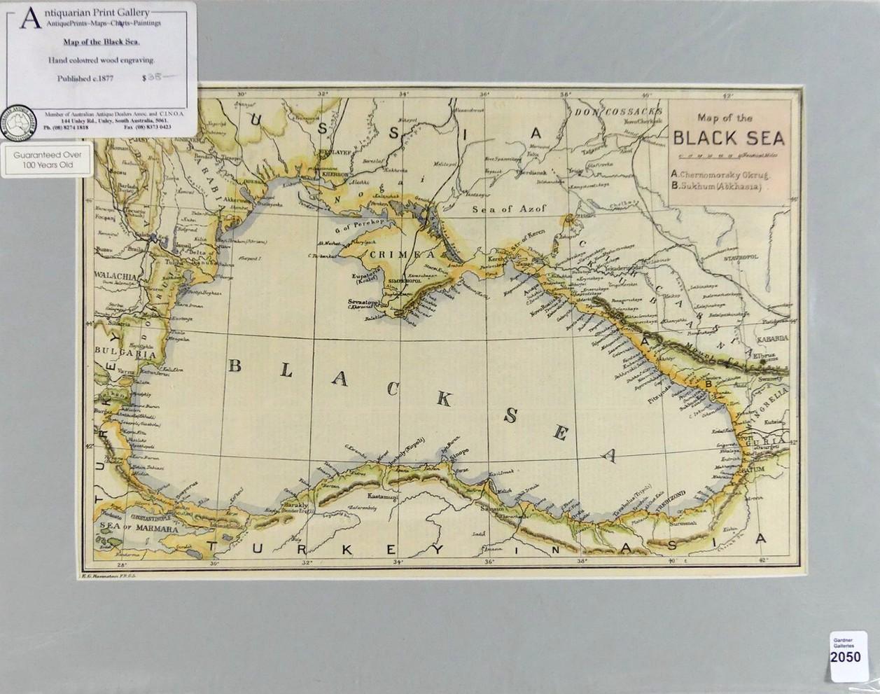
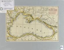
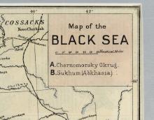
MAP OF THE BLACK SEA
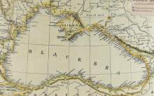
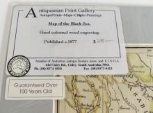
LOT DETAILS
Hand-coloured wood engraving attributed to Ernst Georg Ravenstein F.R.S.G.S., an English-German geographer and cartographer; published circa 1877, presented in fine condition in mat form; image size 24.1 x 35.6cm (9 1/2 x 14in); purchased at Antiquarian Print Gallery, Unley, South Australia