2022
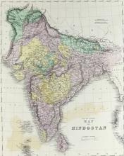
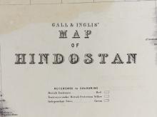
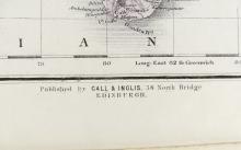
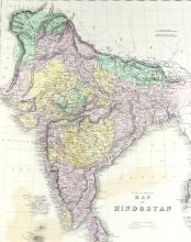
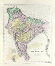
CIRCA 1850 MAP OF HINDUSTAN

LOT DETAILS
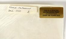
This map was produced around 1850 by Schenck and McFarlane of Edinburgh, lithographers and printers who established a reputation for substantial quality work; the hand-coloured image of approximately 53.3 x 40.6cm (21 x 16in) is in nice undamaged condition; sheet size 62.2 x 52.7cm (24 1/2 x 20 3/4in); Note: Hindustan, along with Hind, are the Persian words for India