2005
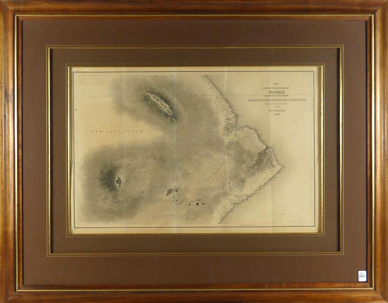
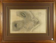
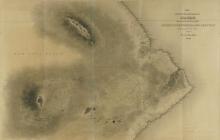
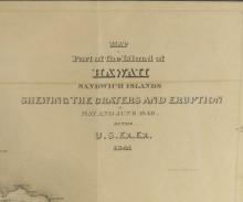
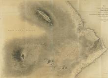
PART OF THE ISLAND OF HAWAII 19TH CENTURY MAP
LOT DETAILS
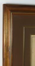
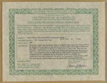
Finely crafted and beautifully coloured steelplate engraving - image size 40.6 x 59.7cm (16 x 23 1/2in) - from the 1841 United States Exploring Expedition into the Pacific led by Commander Charles Wilkes, USN; published 1845; presented in fine condition in custom Koa wood frame; Note: Koa wood is sacred to Hawaiians and highly valued for its strength, rich and beautiful pattern; a special permit is required to harvest Koa and cutting practice is highly supervised; frame outer dimensions 76.2 x 96.5cm (30 x 38in); Certificate of Authenticity from Lahaina Printsellers Ltd., Maui, Hawaii verso